
Seaside Neighbors Around One Address
A block lookup has several layers. GIS is strongest for physical parcels and public geography. The Assessor roll can connect an APN to a title owner through bounded or paid access, but an owner is not automatically a resident. Deeds show successive owners, not every person in a household. Voter information has an authorized-purpose route, not a public neighborhood browser. Polk and Haines can supply historical occupants, while a city Neighborhoods map supplies named areas and public contacts without exposing private membership.
| Source | What It Shows About a Block | Access |
|---|---|---|
| GIS adjacent polygons | Physical parcels, APNs, legal and geographic attributes; no owner field | Free public map and parcel layer |
| Assessor roll | Title owner, parcel status, values, exemptions, and mailing contact where available | APN workflow, counter, or bounded/paid data product |
| Recorded deeds | Successive owners, grantors, grantees, dates, and legal descriptions | Recorder current and historical indexes; copies by request |
| Voter file | Registered persons and precinct information only for authorized use | Restricted application and permitted purpose |
| Polk and Haines directories | Historical occupants and adjacent street entries by publication year | Monterey Public Library shelf and staff confirmation |
| City neighborhood maps | Named areas, planning context, and public leaders or contacts | Public map and public contact routes; no private member list |
The table is a coverage map, not a promise that one source names every neighbor. Each row answers a different question. Start with the parcel, then move to the custodian that can speak to title, a historical occupant, a civic contact, or a permitted voter record.
Note: A block result should identify the source and date because a map, roll, deed, and directory describe different moments.
Click Around Seaside Neighbor Parcels
The Monterey County Parcel Report is the practical starting point for nearby Seaside parcels. Find the known address on the map, click its polygon, record the APN and legal description, then click each directly adjoining polygon. APN labels appear below a 1:20,000 scale. Spatial-distance queries exist at the service level, but the research did not establish that the public app exposes an owner or radius search. Do not describe a buffer as a completed neighbor list.
Carry the subject parcel and each adjoining APN into the next records step. The GIS service supports spatial distance, pagination, extents and centroids, statistics, ordering, and up to 2,000 records. Assessment attributes update nightly, while geometry changes with parcel-fabric edits. GIS is “as is” and not a survey. If a fence, map edge, or legal description conflicts, the recorded instrument or official roll controls.
- Validate the starting address and identify the correct city or former-base context.
- Click the subject polygon and copy its APN, jurisdiction, subdivision, and legal description.
- Click directly adjoining polygons and make one dated APN list, without assigning people yet.
- Use the Assessor or counter route for a bounded ownership question, then use the Recorder for title documents.
- Use a library directory for historical occupants and the city map for named public areas.
This parcel-first flow keeps neighbors tied to physical geography. It also makes a clear handoff when the goal changes from the immediate block to the full named street, where the Seaside street directory workflow is more suitable.
Seaside GIS Fields for a Neighbor Lookup
The published Monterey County parcel schema is more detailed than a simple map pin. It can expose the parcel key, measured area, value fields, legal description, jurisdiction, planning context, hazard flags, document references, and Fort Ord land-use information. It does not expose an owner or mailing-address field. That absence is a meaningful boundary. It means a neighbor lookup must not turn a public polygon into an unverified personal label.
| Parcel field group | What it contributes |
|---|---|
| APN, APN format, Parcel ID | Stable parcel identifiers for the next Assessor or Recorder step. |
| GIS acres and square feet | Mapped size measures, not a boundary survey. |
| Land and improved value | Published assessment context for the parcel. |
| Legal description and subdivision | Land identity that can survive postal or street changes. |
| Document dates and numbers | Creating, current, and terminating document references. |
| City, community, jurisdiction | Local government context for choosing a custodian. |
| Zoning and planning area | Planning layer context around the adjacent parcels. |
| Hazard and district fields | Flood, liquefaction, landslide, seismic, erosion, fire, school, water, and related public geography. |
| Army and Fort Ord land use | Former-base and reuse context where those flags apply. |
| Last Modified and Data Status | Freshness clues for a dated research note. |
Use the Monterey County Parcel Report for the map view and the published parcel layer for schema context. A GIS field can locate a question. It cannot certify occupancy, settle a fence dispute, or name a whole household.
Seaside Neighbor APNs to the Roll
An APN is the bridge from a public polygon to a bounded property question. The Monterey County Assessor provides an APN or assessment-number inquiry that can return ownership, parcel status, Tax Rate Area, values, exemptions, and characteristics. Owner-name and address web searching is disabled under the county's interpretation of Government Code section 6254.21. The fallback is the public counter, an email or data request, or a paid ownership and mailing product where the county makes one available.
After a title name is identified through the proper route, the Monterey County Recorder supplies the deed trail. The current index reaches from 1978 to the present, and the historical index reaches from 1850 to 1977. A deed gives grantor, grantee, date, document reference, and legal description. It proves a title transfer. It does not prove that every nearby person is a household member.
For permits or code matters, Seaside Building and Code Enforcement accepts permit and inspection channels at City Hall, by email, online inspection request, phone, or a focused CPRA request. A file may carry an owner, applicant, contractor, project address, valuation, scope, and parcel information when disclosable. Active investigations and personal data can be withheld. Treat an applicant as an address relationship, not as a neighbor identity.
The Seaside City Clerk information page illustrates the municipal records doorway used for public city contacts and focused requests.
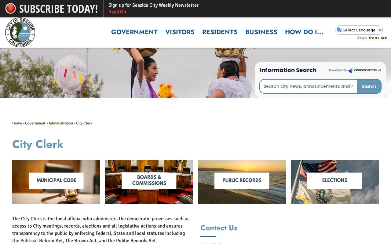
City records can confirm a public role or address-related filing, but the municipal route does not replace the county deed or parcel custodian.
Seaside Neighbors: Owners and Households
Title and occupancy are different facts. An assessment roll may identify a title owner and a mailing contact. The mailing address can be outside Seaside. A deed follows successive owners. Neither source names every person who uses the parcel. A historical directory can show an occupant at a publication date, but it is a snapshot. A current household may include people who never appear in a public record.
What stays outside a lawful neighbor lookup includes utility and delivery records, customer information, DMV addresses, protected voters, Safe at Home addresses, and household members who are not independently identified in an accessible record. A matching surname across two parcels is not proof of family. A same-day mailing address is not proof of physical presence. Use the narrowest statement the source supports.
Use GIS adjacent polygons for the question “which parcels touch?” and leave owner, resident, and household identity unresolved until a separate record supports it. Use the Assessor route and a recorded deed for title, while leaving occupancy and service records outside the inference. Use Polk, Haines, newspapers, or census material for an earlier-year occupant, without assigning a move date between editions. Use Seaside Neighborhoods and planning maps to name a public area, never to infer a private membership roster.
That distinction is especially important around former Fort Ord. Postal, city, county, and redevelopment layers can overlap while the actual parcel history remains tied to a different custodian. Preserve the APN and jurisdiction before attaching any name to a block note.
Historical Seaside Neighbors
For past neighbors, Monterey Public Library's historical shelf adds a household layer that current parcel data cannot. Polk's Monterey Peninsula run includes Seaside and spans verified volumes from 1926 through 1987, with gaps. The alphabetic listing can show a printed resident name, occupation, and spouse. The reverse-address section turns an address into an occupant, and later volumes add telephone-number reverse access. Haines is an address-oriented criss-cross directory, but its exact shelf years were not exposed online and should be confirmed with library staff.
A historical block search works best across editions. Normalize the old street spelling, use the reverse section for the known address, inspect the adjacent entries, and compare the prior and next available volume. Pair 1930, 1940, and 1950 directory work with the corresponding public federal census. The National Archives' 72-year rule makes 1950 the latest public census in 2026; 1960 releases in 2032. A directory year is not a move-in or move-out date.
- Write the address as printed and note any boundary or postal mismatch.
- Use the reverse section to find the period occupant, then read the alphabetic entry.
- Check adjacent addresses for a block pattern without assuming all entries are one household.
- Pair the directory year with census, obituary, newspaper, deed, or permit evidence.
If an address disappears, check the legal description, deed chain, Sanborn map, permit record, and boundary history before concluding that a resident vanished. Historical neighbors are a chronology question, not a list to fill from silence.
Seaside Neighborhood Maps and Contacts
Seaside's public maps supply a civic geography layer. The city maps hub includes the adopted 2024 General Plan, zoning and coastal-zone maps, specific-plan maps, Fort Ord buildings, historical Neighborhoods, and earlier zoning maps. These materials can help name a development area or explain why adjacent parcels have different paper trails. They do not create a complete neighborhood association or member directory.
No complete public Seaside neighborhood-association or member inventory was located. Use the map and the public contacts it identifies. Do not infer association membership from proximity, a street name, or a parcel record. Public leaders or a public meeting record may be named when an official source makes them public; private members should not be guessed.
Seaside City Clerk
Public city records, requests, agendas, and official contact routing.
440 Harcourt Avenue
831-899-6707
Neighborhoods and Planning Maps
Seaside Maps supplies public neighborhood, zoning, General Plan, and former-base context.
Public map layer only
The city map can answer “which named area contains this parcel?” It cannot answer “who belongs to that group?” Keep those questions separate when neighbors are using the map for civic or family-history work.
Seaside Voter Privacy for Neighbors
California My Voter Status verifies a person's own registration, polling place, and ballot status. It does not browse names, streets, or nearby parcels. The voter file is restricted by Elections Code sections 2194 and 18109 to candidate, ballot-measure, election, scholarly, journalistic, political, or qualifying governmental purposes. A request needs an applicant, beneficiary, permitted use, scope, delivery choice, wet signature, certifications, and supporting proof when required. It is not a public neighbor list.
The application route can deliver limited fields such as name, date of birth, registration date, residence and mailing addresses, precinct, permitted contact information, party, status, and selected election history. It excludes driver's-license or ID data, Social Security fragments, unique identifiers, and signature or image data. Confidential voters and preregistered minors are excluded. Knowing unauthorized use is a misdemeanor under section 18109.
The California voter-file request information shows why a neighbor lookup must stop at the authorized-purpose boundary.
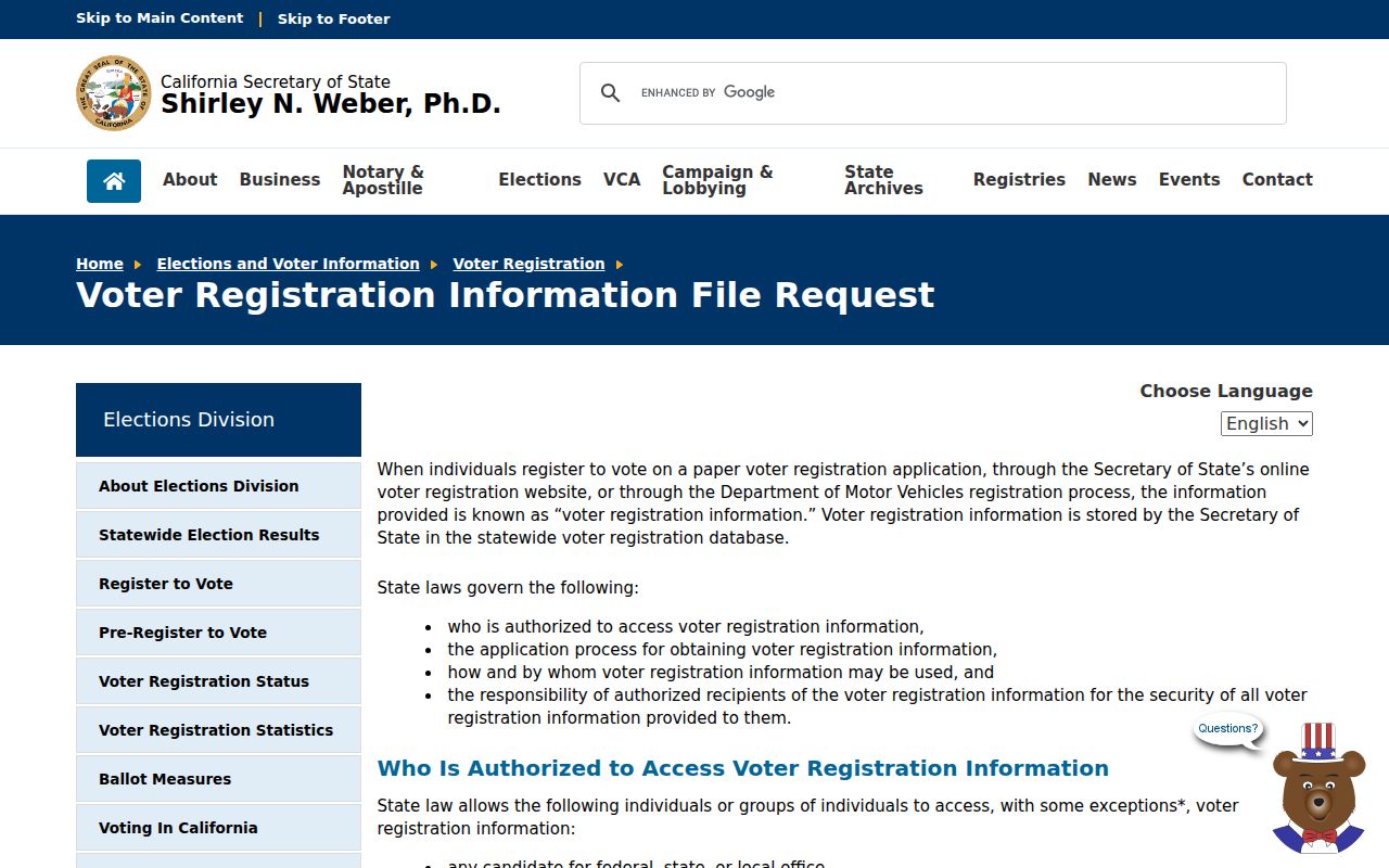
A permitted file request is a statutory records process, not a shortcut for naming every person near an address.
Official Rolls for Seaside Neighbors
Commercial neighbor tools are private compilations. They may merge public filings, marketing data, and stale associations, and they can conflate two people with similar names. Official sources are narrower, but each one has a known custodian, access rule, field definition, and date. A responsible comparison asks which source can answer the actual question and whether the result is current enough to use.
| Source type | Strength | Limit |
|---|---|---|
| GIS parcel layer | Shows physical adjacency and public geography | No owner or occupant field; not a survey |
| Assessor and deed records | Named title and transfer trail through official custodians | Owner is not the same as resident or household |
| Historical directories | Period occupant and reverse-address context | Publication snapshots with gaps |
| Private compiled tools | May combine many clues in one interface | Stale, conflated, unverified, and not a custodian record |
Keep the official parcel, deed, directory, or voter-file source beside any outside clue. Do not publish a private member list from an inference, and do not treat a commercial match as proof of a Seaside neighbor relationship.
Seaside Neighbor Privacy Limits
Safe at Home protects qualifying participants with a substitute address and limits harmful display under Government Code section 6208.1. The program covers qualifying victims of domestic violence, stalking, sexual assault, child abduction, elder or dependent-adult abuse, trafficking, specified health affiliates, and threatened public employees. A protected address is a reason to stop, not a puzzle to solve.
The California Safe at Home program provides the official eligibility and contact route. Other limits apply to DMV data, utility and delivery records, sealed court material, adoption files, juvenile matters, and confidential vital records. A block map cannot override those protections.
The Safe at Home information shown below explains why a protected address may not appear in a neighbor record.
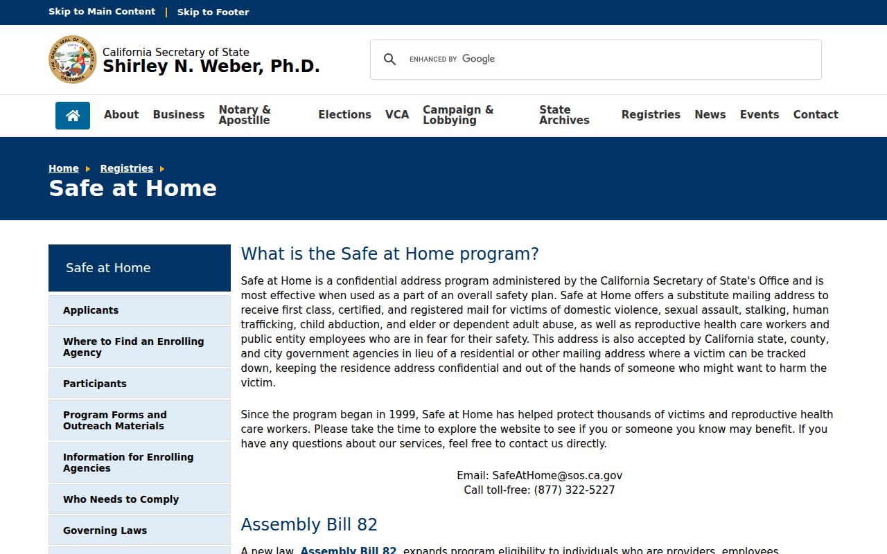
A confidentiality program is a lawful boundary. It should not be reverse-engineered through maps, voter files, or public-contact clues.
Lawful use. Neighbor records in Seaside are for lawful personal safety awareness, civic understanding, reconnecting, family history, and property curiosity. Do not use parcel, voter, directory, or public-contact clues to stalk, harass, intimidate, or harm anyone.
- Adjacent parcel
- A mapped parcel that touches or borders the subject polygon; adjacency does not name a household.
- APN
- The county parcel key used to carry one polygon into an assessment or deed search.
- Situs address
- The physical address associated with the parcel, distinct from a tax mailing address.
- Public contact
- An official name or route published for civic business, not a private membership or household record.
Note: If the only support for a neighbor claim is proximity, leave the person unnamed and keep the parcel fact separate.