
Seaside Previous Residents by Era
A useful previous-residents search begins by matching each question to the source that covers its era. The current Recorder index is not the same tool as the historical index. A Polk entry is not the same evidence as a deed. GIS and a current roll can anchor a parcel today, while census, newspapers, and directories supply household context for an earlier year.
| Source | Years it covers | Where held | What it shows |
|---|---|---|---|
| Monterey Recorder current Tyler index | 1978-present | Online index and Salinas counter | Named parties, document reference, type, and date |
| Monterey historical BMI index | 1850-1977 | Online historical index, reels, and Recorder | Grantor or grantee chain and reel references |
| Polk's Monterey Peninsula directory | 1926-1987 with gaps: 1961, 1983/84, and 1986 | Monterey Public Library California History Room | Occupant, spouse, occupation, and reverse address |
| Haines criss-cross directory | Exact shelf years require confirmation | Monterey Public Library | Address-oriented historical clues |
| Federal census | Public through 1950 in 2026 | National Archives and library channels | Household, address, and enumeration context |
| GIS and current assessment roll | Current; GIS attributes update nightly | Monterey County GIS and Assessor | APN, value, legal and geographic context, and current owner through the roll |
| Permits and code files | Current department records, CPRA fallback | Seaside City Hall and City Clerk | Work, alteration, permit address, and named parties when disclosable |
| Sanborn maps, obituaries, and probate | Collection-dependent | MCFL, newspapers, court, and archives | Structure, death, family, and estate clues |
Choose the era before choosing the portal. That prevents a modern index cutoff from being mistaken for the end of the address story.
Seaside Past Residents and the APN
Monterey County's property workflow is APN-first. Put the known address into the free Parcel Report, click the parcel, and record the APN, legal description, subdivision, document references, and jurisdiction. Then use the APN in the assessor property inquiry. The public online owner-name and address search is disabled under California Government Code section 6254.21, so the APN is the safe bridge to the roll and the county counter.
Assessment and GIS evidence establish a parcel, not a complete list of previous residents. Ownership can differ from occupancy, and a mailing address can belong to someone outside Seaside. Preserve the current parcel identity before searching an older street spelling. That one step helps keep a changed name, a former-base address, or a boundary shift from sending the deed trail into the wrong file.
Seaside Past Residents at the 1978 Divide
The current Tyler index at Monterey County Recorder covers 1978 to the present. Search modes include document number, document type, document date, book or reel and page, name, and map book or page. The historical BMI index at Monterey historical records covers 1850 through 1977. At the boundary, switch systems and expect older handwriting, manual alphabet browsing, and spelling variants.
The current Recorder index source image below is a cue for the modern half of a previous-residents search. It is an index, not a complete deed image or a household roll.
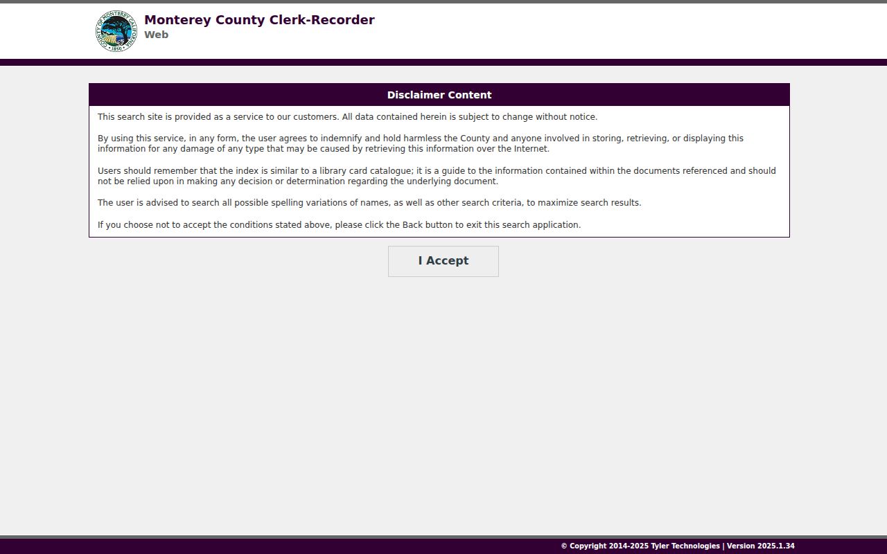
Use the displayed portal for a named-party starting point, then preserve its document reference and date before moving to the historical side.
The historical Recorder index source image below represents the pre-1978 route. Manual page work is part of the method when an old name or spelling is not exposed by a modern search control.
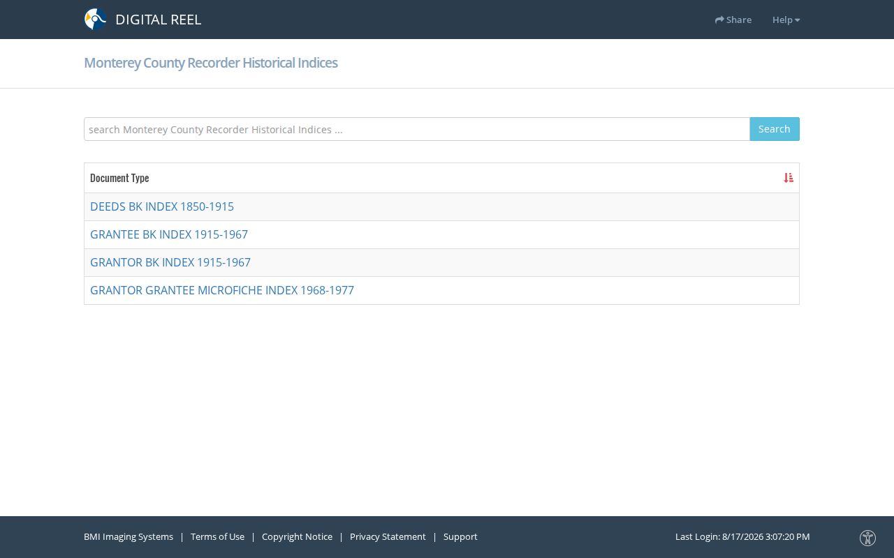
A historical index hit should be followed by a copy or counter request when the reel reference is needed for a defensible house history.
Tracing Seaside Residents Through Deeds
Use the current owner only as the first named party in a backward title search. The purchase deed names the seller, and that seller becomes the earlier grantee to search next. Keep the chain tied to the legal description rather than relying on a situs address that may be written in different ways. The chain can reveal past owners, but a deed proves title transfer, not all previous residents.
- Pull the current APN, owner, and legal description from the county property and parcel workflow.
- Search the current Recorder index for the current owner as grantee and locate the purchase instrument.
- Read the deed for the seller or grantor, recording date, instrument or book/page reference, and legal description.
- Search that seller as an earlier grantee, repeating the process backward through the Tyler index.
- At 1978, cross to the historical index and manually test handwritten variants and reel references.
- Grantor
- The party transferring an interest in the recorded instrument.
- Grantee
- The party receiving the interest in that instrument.
- Chain of title
- The linked sequence of recorded transfers for the same legal parcel.
- Legal description
- The recorded land description that helps keep a parcel linked when an address or street spelling shifts.
Seaside Records and Legal Descriptions
The Monterey County Recorder counter is at 168 W. Alisal Street, First Floor, Salinas. Viewing is available at the counter, and mail goes to PO Box 29, Salinas, California 93902. A copy request should carry a document or reel/page number, recording year, at least one party exactly as indexed, and the document type. Published charges are $2 per page, $2 per document for certification, and $5 per map page.
The legal description is the note that lets a researcher compare a deed with the parcel layer when a street label is unclear. Preserve instrument or reel, book/page, date, party spelling, and the description at every step. If an index entry and a map disagree, treat the recorded instrument and official roll as the controlling records and ask the custodian how to resolve the mismatch.
Seaside Past Residents in Directories
Former occupants are often visible first as printed names, not title holders. Polk's Seaside-inclusive run covers 1926 through 1987 with the documented gaps. Its alphabetic entry supplies resident name, spouse when printed, occupation, and address; the reverse section turns an address into an occupant. Haines offers another criss-cross path, but its exact shelf years need library confirmation. A publication year is a snapshot, so compare the nearest available editions.
The full shelf inventory and reading method are on the Seaside Directory Book page. For one address, keep the old spelling beside the normalized form, check adjacent addresses, and then look for a census, newspaper, Sanborn map, deed, or permit that supports the same period. A directory disappearance may mean a move, death, a missing volume, a new spelling, or no listing.
Seaside Residents and Census Years
The federal census is a household layer for the earlier part of a previous-residents search. The 1950 census is the latest public census in 2026 under the 72-year release rule, and the 1960 census is scheduled for release in 2032. Pair a 1930, 1940, or 1950 schedule with the closest available Polk entry, then compare the address, names, relationships, and enumeration context. Do not force a match when the street label or household composition conflicts.
The National Archives census source image below points to the federal route. Census evidence can show who was counted at a place during an enumeration, while a directory can provide an address snapshot in another year. Neither one proves continuous residence between publications.
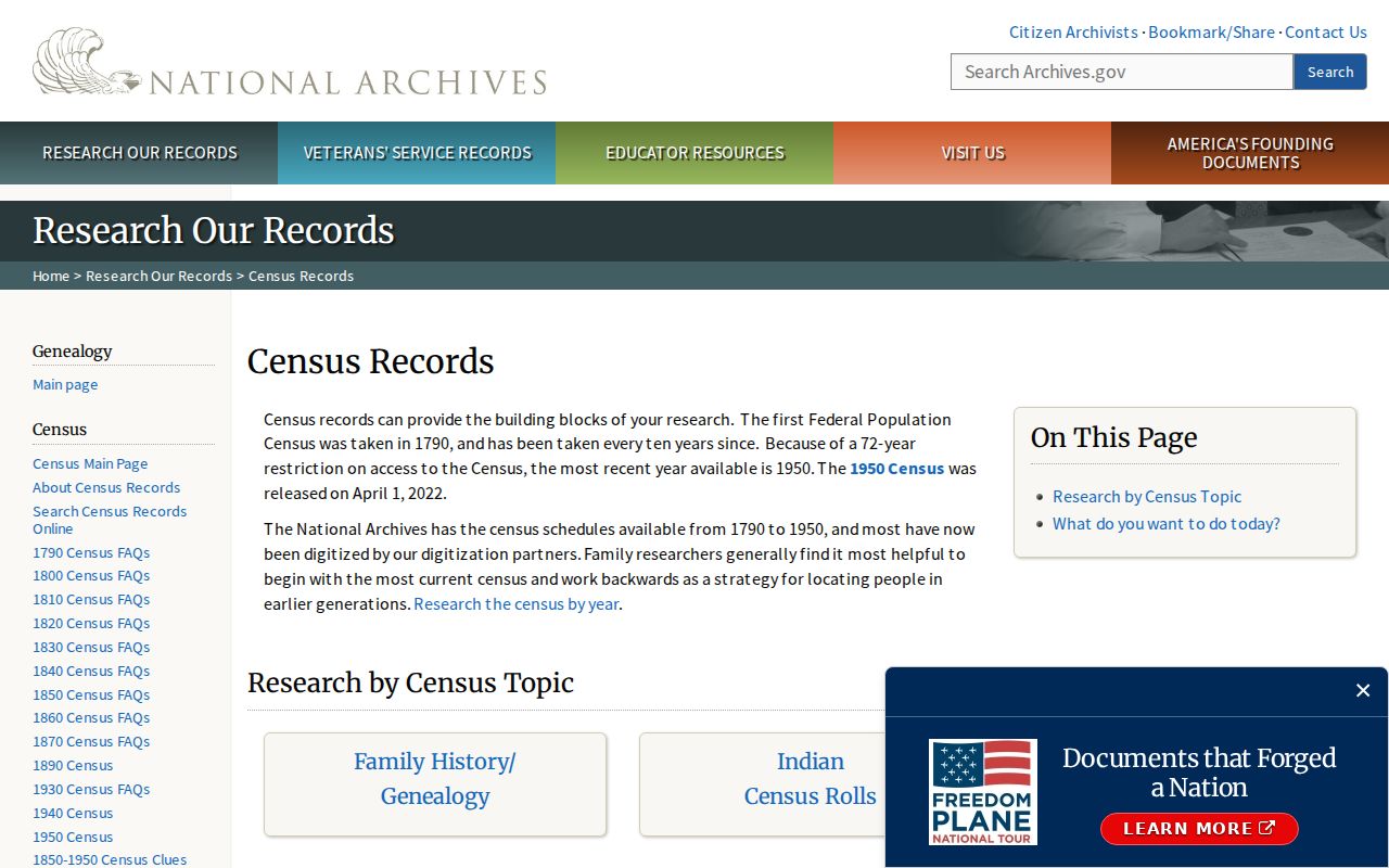
Write down the census year and source page with every name so a later researcher can tell a direct enumeration from an inference based on a nearby directory.
Seaside Records: Sanborn Maps and Permits
Sanborn fire-insurance maps in Monterey County Free Libraries can show a building footprint, use, and street context for a historical address. They do not prove who lived there. Seaside Building and Code Enforcement supplies a current municipal channel for permits, inspections, and code matters at 440 Harcourt Avenue. Building inspection requests use 831-899-6723, code complaints use 831-899-6729, and building@ci.seaside.ca.us is the department email. A focused CPRA request is the fallback when no public historical permit search is available.
Use a map or permit to date a change in the structure, then return to the directory and deed sources for people. The record trail is strongest when a building change, an address entry, and a title instrument agree on the same era.
Seaside's 1954 Records Boundary
Seaside history can change which custodian holds the next clue. Subdivision activity began in 1887, the Seaside name and post office followed by 1891, and Fort Ord had a training presence in 1910. The base expanded after 1941, integrated in 1948, and closed in 1994. Seaside incorporated in 1954, but some oldest areas remained with Monterey and much of the shoreline went to Sand City.
The California county and city archives source image provides a research pointer when a modern parcel number does not line up with an older record. It is not a claim that every Seaside file is held there.
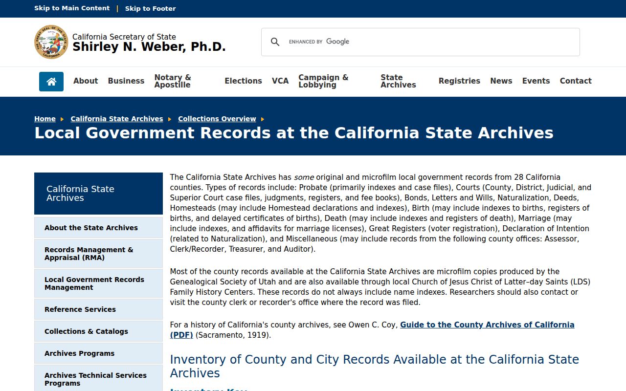
Compare the actual jurisdiction, APN, legal description, and date. A familiar Seaside label may lead to Monterey, Sand City, county, or former Fort Ord records depending on the parcel and period.
Seaside Previous Residents: Household Sources
A careful account of previous residents separates a past household from a past owner. Directories can name an occupant, spouse, and occupation. Census schedules can show a household at an enumeration. Obituaries and probate files may later identify relatives, an estate, or an heir trail. Recorded deeds show title transfer. Put each result in its own column with a source date and do not merge them into one claim about continuous occupancy.
For a family or estate file, close the trail with the strongest source available for the question: a certified or custodian-held record for a legal fact, a directory or newspaper for a period clue, and a deed or probate file for title or estate work. If a living person appears in a record, limit the use to a lawful personal purpose and do not turn a historical clue into tracking.
Lawful use. Previous-resident research in Seaside is appropriate for house history, genealogy, estate work, and personal civic research. Do not use an address trail to stalk, harass, intimidate, or harm a living person. When a protected or confidential record is unavailable, respect the limit rather than trying to work around it.